Design Automation Lab
A research lab developing methods and tools for supporting design decision making.
Smart Design
- Title: Smart Design: Human Centric Planning of Urban Districts
- Project Period: 2 January 2017 to 1 July 2018
- Funding Source: Global Alliance
- Principal Investigator: Patrick Janssen (PI)
- Co-Investigators: Rudi Stouffs (NUS), Zhang Ye (NUS), Heng Chye Kiang (NUS)
- Collaborators: Koen Steemers (UCam), Ying Jin (UCam), Ruchi Choudhary (UCam), Paul Waddell (UCB), Peter Bosselmann (UCB), John Ellis (UCB)
- Budget: SGD $262,500 (NUS: $87,500)
Research Overview
Smart Design refers to a design paradigm in which predictive feedback inspires creativity and innovation. One of the key areas where Smart Design can result in significant benefits is in urban design and planning. In particular, what is lacking in current research including smart technology are Smart Design processes that enable iterative assessment of possible future urban development scenarios based on predictive feedback to support decision making.
This research is part of a larger research initiative in collaboration with Cambridge University (UCAM)and UC Berkeley (UCB), focusing on Smart Design to support human-centric planning of urban districts, with an emphasis on health and social equity. This prioritizes fundamental human needs over the needs of other agents in the city that compete for status and space, such as cars.
Within this larger framework, this research project will focus on the development of computational systems for supporting urban design and master planning. NUS will work with UCB to integrate existing open source systems developed at each institution.

Research Aims and Objectives
The research will start by developing a set of algorithmic rules for creating walkable and liveable neighbourhoods. A literature review of existing Form Based Codes (FBC), Smart Codes (SC), and other performance metrics will be conducted. These various codes will be critically evaluated both for their ability to create walkable and liveable neighbourhoods, and for their applicability to the Asian context, focusing in particular on Singapore. A set of algorithmic rules will then be developed for generating street grids and urban massings for new neighbourhood typologies that incorporate the key required characteristics for creating walkable and liveable neighbourhoods.
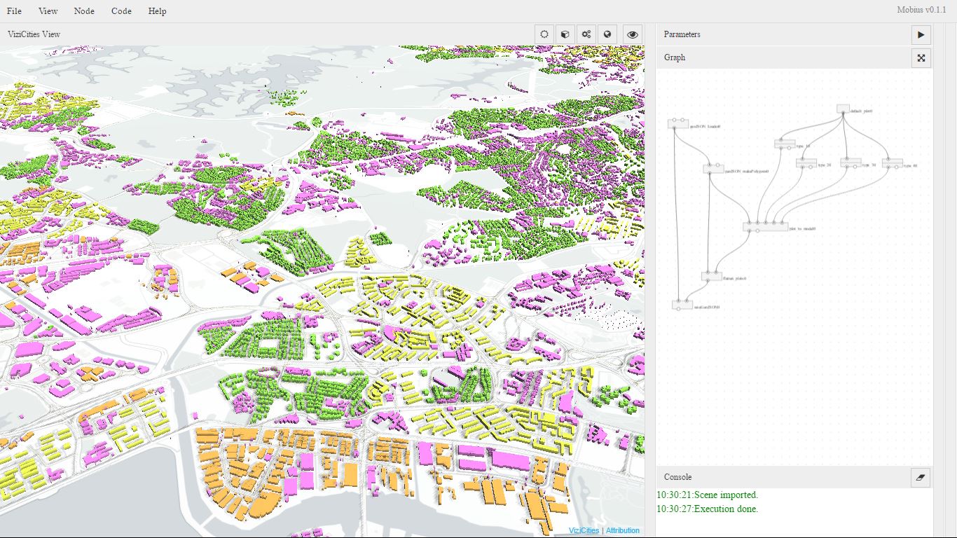
In order to support interactive exploration os such urban rules and codes, the NUS Möbius Modeller for Parametric Information Modelling (PIM) will be integrated with the UCB ViziCities Viewer for 3D mapping and visualization. These tools allow urban models to be iteratively explored and evaluated.